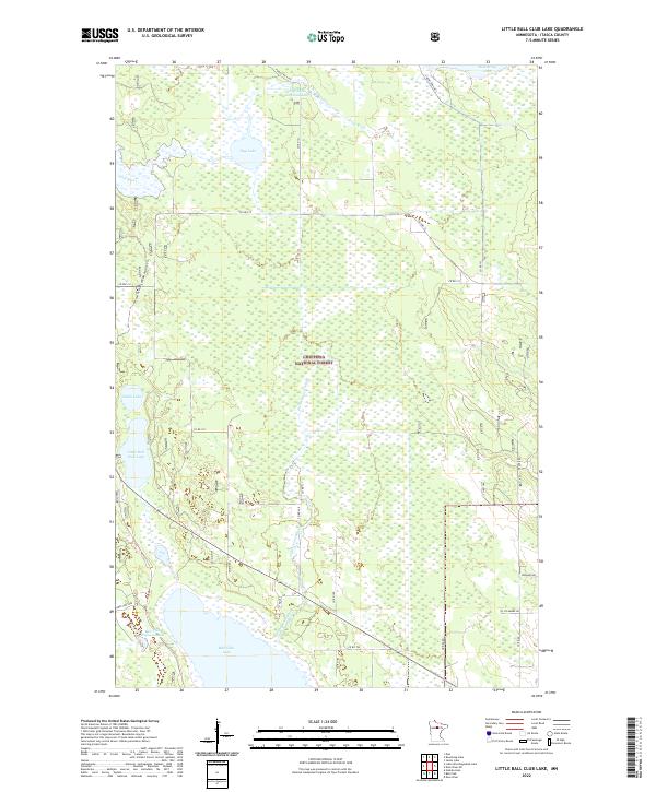
2022 Map of Little Ball Club Lake
USGS Topo · Published 2022About this map
Chippewa National Forest encompasses this wetland-rich portion of Itasca County, defined by a complex network of glacial lakes and managed waterways. In the north, Egg Lake and the Egg Lake Impoundment feed into the winding path of the First River, while the southern reaches are dominated by the large expanse of Ball Club Lake and its associated Ball Club Impoundment. The landscape is a mosaic of marshes and timber, navigated by a grid of county and forest roads. Recreational use is evident through the Avenue Of Pines Snowmobile Tr Trl, which cuts north-south through the woods. Hydrological features like Fishermans Brook and Little Ball Club Lake illustrate the delicate drainage patterns that sustain this northern Minnesota ecosystem.
Find a feature on this map
31 named features on this map. Tap any name to fly to it.
Don’t see what you’re looking for? This feature index may not catch every label — zoom into the map to look around manually.
Map Details
Editions of this 2022 Little Ball Club Lake Map
This is the sole edition of this map. No revisions or reprints were ever made.
Other maps of this area

1919 · Max
USGS Topo · 1:62,500

1954 · Bemidji
USGS Topo · 1:250,000

1954 · Hibbing
USGS Topo · 1:250,000

1957 · Bemidji
USGS Topo · 1:250,000

1957 · Hibbing
USGS Topo · 1:250,000

1958 · Bemidji
USGS Topo · 1:250,000

1958 · Hibbing
USGS Topo · 1:250,000

1964 · Hibbing
USGS Topo · 1:250,000

1970 · Bowstring Lake
USGS Topo · 1:24,000

1970 · Deer River NE
USGS Topo · 1:24,000