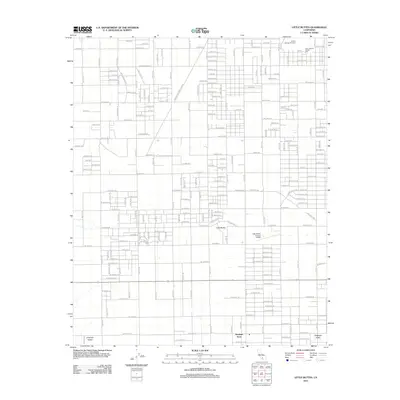
2012 Map of Little Buttes
USGS Topo · Published 2012About this map
Antelope Acres serves as a primary settlement node in this corner of the Antelope Valley, where the high desert landscape is organized by an extensive grid of named roads. The terrain is punctuated by distinctive landforms including the Little Buttes and the Antelope Buttes to the southwest. A notable specialized landmark, the Little Buttes Antique Airfield, sits nestled near the center of the survey area, reflecting the region's long-standing connection to aviation and open-space recreation. The infrastructure of the growing metropolitan region is evident in the prominent Los Angeles DWP Easement that cuts diagonally across the western portion of the map. Residential and rural development follows a strict rectilinear pattern, with major thoroughfares like W Rosamond Blvd and Gaskell Rd providing the framework for desert living in the early 21st century.
Find a feature on this map
95 named features on this map. Tap any name to fly to it.
Don’t see what you’re looking for? This feature index may not catch every label — zoom into the map to look around manually.
Map Details
Editions of this 2012 Little Buttes Map
This is the sole edition of this map. No revisions or reprints were ever made.
Other maps of this area

1915 · Elizabeth Lake
USGS Topo · 1:125,000

1917 · Elizabeth Lake
USGS Topo · 1:125,000

1931 · Little Buttes
USGS Topo · 1:24,000

1931 · Esperanza School
USGS Topo · 1:24,000

1934 · Little Buttes
USGS Topo · 1:24,000

1934 · Esperanza School
USGS Topo · 1:24,000

1943 · Rosamond
USGS Topo · 1:62,500

1943 · Willow Springs
USGS Topo · 1:62,500
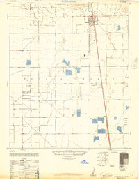
1947 · Rosamond
USGS Topo · 1:24,000

1947 · Soledad Mountain
USGS Topo · 1:24,000