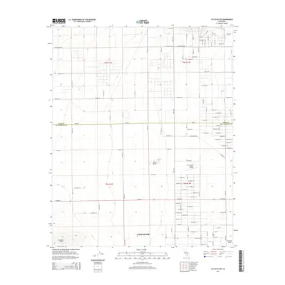
2015 Map of Little Buttes
USGS Topo · Published 2015About this map
Antelope Valley high desert topography meets the residential expansion of Lancaster in this survey of the northern Los Angeles County borderlands. The landscape is defined by the sharp transition between the gridded residential developments and the natural outcroppings of the Little Buttes and Antelope Buttes. A notable localized landmark is the Little Buttes Antique Airfield, situated amidst a network of systematically named thoroughfares such as Elder Ave, Dogwood Ave, and Birch Ave. The map also captures the administrative boundary of Kern Co Los Angeles Co, revealing how the county line bisects this arid basin. This area represents a moment of suburban infill where established ranch roads like Gaskell Rd interface with newer housing tracts and highway corridors like W Antelope Hwy.
Find a feature on this map
57 named features on this map. Tap any name to fly to it.
Don’t see what you’re looking for? This feature index may not catch every label — zoom into the map to look around manually.
Map Details
Editions of this 2015 Little Buttes Map
This is the sole edition of this map. No revisions or reprints were ever made.
Other maps of this area

1915 · Elizabeth Lake
USGS Topo · 1:125,000

1917 · Elizabeth Lake
USGS Topo · 1:125,000

1931 · Little Buttes
USGS Topo · 1:24,000

1931 · Esperanza School
USGS Topo · 1:24,000

1934 · Little Buttes
USGS Topo · 1:24,000

1934 · Esperanza School
USGS Topo · 1:24,000

1943 · Rosamond
USGS Topo · 1:62,500

1943 · Willow Springs
USGS Topo · 1:62,500
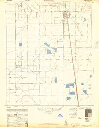
1947 · Rosamond
USGS Topo · 1:24,000

1947 · Soledad Mountain
USGS Topo · 1:24,000