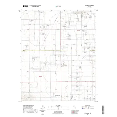
2018 Map of Little Buttes
USGS Topo · Published 2018About this map
Lancaster and the northern reaches of the Antelope Valley are defined here by a transition from the structured street grids of the High Desert to the open terrain of the Kern County and Los Angeles County border. This area showcases the logistical infrastructure of Southern California, including the prominent north-south Los Angeles DWP Easement and a sprawling network of named avenues like Rosamond Blvd and Gaskell Rd. Local history interest is concentrated at the Little Buttes Antique Airfield, situated just east of the Little Buttes formations themselves. To the southwest, the Antelope Buttes rise above the residential layout of Antelope Acres, providing a clear look at the landscape before it gives way to the more industrial or utility-focused corridors near the Raceway Access Corridor in the northeastern quadrant.
Find a feature on this map
115 named features on this map. Tap any name to fly to it.
Don’t see what you’re looking for? This feature index may not catch every label — zoom into the map to look around manually.
Map Details
Editions of this 2018 Little Buttes Map
This is the sole edition of this map. No revisions or reprints were ever made.
Other maps of this area

1915 · Elizabeth Lake
USGS Topo · 1:125,000

1917 · Elizabeth Lake
USGS Topo · 1:125,000

1931 · Little Buttes
USGS Topo · 1:24,000

1931 · Esperanza School
USGS Topo · 1:24,000

1934 · Little Buttes
USGS Topo · 1:24,000

1934 · Esperanza School
USGS Topo · 1:24,000

1943 · Rosamond
USGS Topo · 1:62,500

1943 · Willow Springs
USGS Topo · 1:62,500
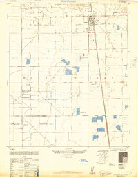
1947 · Rosamond
USGS Topo · 1:24,000

1947 · Soledad Mountain
USGS Topo · 1:24,000