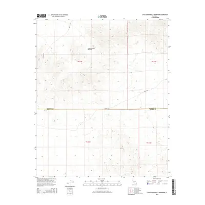
2015 Map of Little Chuckwalla Mountains
USGS Topo · Published 2015About this map
The Little Chuckwalla Mountains and the Black Hills define the arid, high-desert landscape of this corner of the Colorado Desert. This 2015 survey highlights the transit corridors that cross the desert floor, most notably the Bradshaw Trl, a route historically significant as an 1860s-era overland stage road connecting San Bernardino to the Colorado River gold mines. The quadrangle straddles the high-desert border of Riverside Co and Imperial Co, providing a detailed view of the Public Land Survey System (PLSS) grid across township lines. Modern access to the northern reaches of the mountains is shown via Graham Pass Rd, which winds through the mountain passes, illustrating how modern infrastructure continues to follow the natural topographical breaks used by travelers for generations.
Find a feature on this map
9 named features on this map. Tap any name to fly to it.
Don’t see what you’re looking for? This feature index may not catch every label — zoom into the map to look around manually.
Map Details
Editions of this 2015 Little Chuckwalla Mountains Map
This is the sole edition of this map. No revisions or reprints were ever made.
Other maps of this area

1942 · Blythe
USGS Topo · 1:250,000

1952 · Mc Coy Spring
USGS Topo · 1:62,500

1952 · Sidewinder Well
USGS Topo · 1:62,500

1953 · Palo Verde Mountains
USGS Topo · 1:62,500

1953 · Chuckwalla Spring
USGS Topo · 1:62,500

1954 · Salton Sea
USGS Topo · 1:250,000

1955 · Salton Sea
USGS Topo · 1:250,000

1959 · Salton Sea
USGS Topo · 1:250,000

1963 · Salton Sea
USGS Topo · 1:250,000

1965 · Salton Sea
USGS Topo · 1:250,000