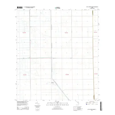
2015 Map of Little Cypress Swamp
USGS Topo · Published 2015About this map
Little Cypress Swamp dominates this landscape along the boundary between Hendry and Palm Beach Counties, showing a region defined by water management and transit. The Deer Fence Canal cuts across the center of the sheet, reflecting the infrastructure required to navigate and cultivate this low-lying Florida terrain. The Florida National Scenic Trail winds north-to-south through the center, paralleling Lt Dike Rd for much of its route, while the Southern Ranch Airport provides a point of arrival in this interior reach of the Everglades ecosystem. Rural access is maintained through a network of local thoroughfares including Cr-835, Kt Grove Rd, and Blumberg Rd, which serve the sectioned townships and ranges that organize the land south of the swamp.
Find a feature on this map
16 named features on this map. Tap any name to fly to it.
Don’t see what you’re looking for? This feature index may not catch every label — zoom into the map to look around manually.
Map Details
Editions of this 2015 Little Cypress Swamp Map
This is the sole edition of this map. No revisions or reprints were ever made.
Other maps of this area

1956 · West Palm Beach
USGS Topo · 1:250,000

1957 · West Palm Beach
USGS Topo · 1:250,000

1958 · West Palm Beach
USGS Topo · 1:250,000

1970 · Lake Harbor SE
USGS Topo · 1:24,000

1970 · Lake Harbor SW
USGS Topo · 1:24,000

1970 · La Belle 4 SE
USGS Topo · 1:24,000

1974 · Everglades 2 SW
USGS Topo · 1:24,000

1974 · Immokalee 1 SE
USGS Topo · 1:24,000

1974 · Immokalee 1 NE
USGS Topo · 1:24,000

1974 · Everglades 2 SE
USGS Topo · 1:24,000