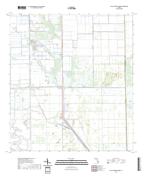
2024 Map of Little Cypress Swamp
USGS Topo · Published 2024About this map
Little Cypress Swamp and the surrounding wetland reaches of the Everglades define this portion of the interior Florida landscape, where agricultural development and conservation efforts meet. The grid of the Public Land Survey System intersects with managed waterways like the Deer Fence Canal, reflecting the massive drainage and irrigation projects central to the region's 21st-century character. Large-scale citrus and agricultural operations are evident through features like TCP Farms and KT Grove Rd, while the aviation needs of these remote rural enterprises are served by the Southern Ranch Airport.
Find a feature on this map
21 named features on this map. Tap any name to fly to it.
Don’t see what you’re looking for? This feature index may not catch every label — zoom into the map to look around manually.
Map Details
Editions of this 2024 Little Cypress Swamp Map
This is the sole edition of this map. No revisions or reprints were ever made.
Other maps of this area

1956 · West Palm Beach
USGS Topo · 1:250,000

1957 · West Palm Beach
USGS Topo · 1:250,000

1958 · West Palm Beach
USGS Topo · 1:250,000

1970 · Lake Harbor SE
USGS Topo · 1:24,000

1970 · Lake Harbor SW
USGS Topo · 1:24,000

1970 · La Belle 4 SE
USGS Topo · 1:24,000

1974 · Everglades 2 SW
USGS Topo · 1:24,000

1974 · Immokalee 1 SE
USGS Topo · 1:24,000

1974 · Immokalee 1 NE
USGS Topo · 1:24,000

1974 · Everglades 2 SE
USGS Topo · 1:24,000