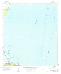
1958 Map of Little Dauphin Island
USGS Topo · Published 1958About this map
Mobile Bay dominates this coastal survey, where the maritime activity of the late 1950s is meticulously recorded through deep-water navigation aids and intricate shoreline features. The Mobile Ship Channel and the Intracoastal Waterway intersect in these waters, defining the commercial shipping routes of the era. On the southern edge, the burgeoning community of Dauphin Island is visible, featuring the Dauphin Island Bridge (Toll) and the dedicated space of Bienville park.
Find a feature on this map
27 named features on this map. Tap any name to fly to it.
Don’t see what you’re looking for? This feature index may not catch every label — zoom into the map to look around manually.
Map Details
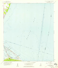
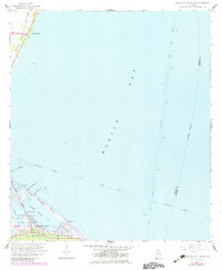
Editions of this 1958 Little Dauphin Island Map
3 editions found
Other maps of this area

1921 · Point Clear
USGS Topo · 1:62,500

1921 · Dauphin Island
USGS Topo · 1:62,500

1921 · Delchamps
USGS Topo · 1:62,500

1941 · Cedar Point
USGS Topo · 1:62,500

1941 · Weeks Bay
USGS Topo · 1:62,500

1942 · Fort Morgan
USGS Topo · 1:62,500

1943 · Cedar Point
USGS Topo · 1:62,500

1943 · Weeks Bay
USGS Topo · 1:62,500

1953 · Mobile
USGS Topo · 1:250,000
1956 · Point Clear
USGS Topo · 1:24,000