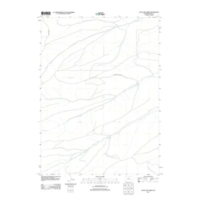
2012 Map of Little Dee Creek
USGS Topo · Published 2012About this map
Little Dee Creek and its neighboring drainages define the high plains of Uinta County in this 2012 land survey. The landscape is marked by a complex network of intermittent and perennial watercourses, including Ryckman Creek, Shurtleff Creek, and Clear Creek, which carve through the high-elevation terrain. While the area is largely devoid of traditional town centers, the infrastructure reflects industrial and ranching utility, particularly evident in the presence of the Whitney Canyon Haul Rd. This specialized roadway suggests the region's connection to the energy and extraction industries prevalent in the Wyoming basins. To the west, Carter Creek Rd provides one of the few established access points through this high-country drainage system.
Find a feature on this map
6 named features on this map. Tap any name to fly to it.
Don’t see what you’re looking for? This feature index may not catch every label — zoom into the map to look around manually.
Map Details
Editions of this 2012 Little Dee Creek Map
This is the sole edition of this map. No revisions or reprints were ever made.
Other maps of this area

1954 · Ogden
USGS Topo · 1:250,000

1958 · Ogden
USGS Topo · 1:250,000

1960 · Ogden
USGS Topo · 1:250,000

1962 · Sawtooth Mountain
USGS Topo · 1:24,000

1962 · Elkol SW
USGS Topo · 1:24,000

1962 · Bell Butte
USGS Topo · 1:24,000

1965 · Evanston
USGS Topo · 1:24,000

1965 · Ragan
USGS Topo · 1:24,000

1965 · Little Dee Creek
USGS Topo · 1:24,000

1965 · Meadow Draw
USGS Topo · 1:24,000