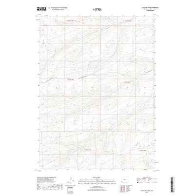
2017 Map of Little Dee Creek
USGS Topo · Published 2017About this map
Little Dee Creek and several other drainages carve through this high-altitude landscape of Uinta County, revealing a terrain defined by its watercourses and industrial access. In the northern reaches, Ryckman Creek flows eastward, while the southern half of the map is marked by the branching paths of Shurtleff Creek and Clear Creek. The rugged geography is intersected by the Whitney Canyon Haul Rd, a notable infrastructure feature that suggests the area's role in local energy or mining transport during the 21st century. Further geographic detail is found at Haystack Draw in the southeast, providing a clear picture of the natural runoff patterns and land use in this part of Wyoming. The map's layout, organized by the Public Land Survey System, shows various townships including t17n r119w, framing the historical boundaries of these remote ranching or resource lands.
Find a feature on this map
13 named features on this map. Tap any name to fly to it.
Don’t see what you’re looking for? This feature index may not catch every label — zoom into the map to look around manually.
Map Details
Editions of this 2017 Little Dee Creek Map
This is the sole edition of this map. No revisions or reprints were ever made.
Other maps of this area

1954 · Ogden
USGS Topo · 1:250,000

1958 · Ogden
USGS Topo · 1:250,000

1960 · Ogden
USGS Topo · 1:250,000

1962 · Sawtooth Mountain
USGS Topo · 1:24,000

1962 · Elkol SW
USGS Topo · 1:24,000

1962 · Bell Butte
USGS Topo · 1:24,000

1965 · Evanston
USGS Topo · 1:24,000

1965 · Ragan
USGS Topo · 1:24,000

1965 · Little Dee Creek
USGS Topo · 1:24,000

1965 · Meadow Draw
USGS Topo · 1:24,000