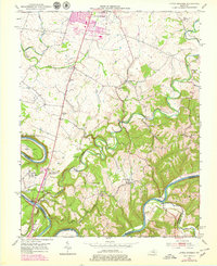
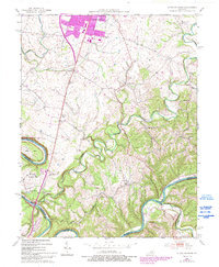
1952 Map of Little Hickman
USGS Topo · Published 1979About this map
The Kentucky River carves a deep, winding path through the southern landscape of this Jessamine County survey, forming the dramatic oxbow at Pollys Bend. This river corridor serves as a natural boundary between Jessamine, Garrard, and Madison counties, a region historically defined by its transition from the rolling upland farms near Nicholasville to the steep limestone palisades. A significant historical anchor on the western edge is Camp Nelson, adjacent to the Camp Nelson National Cem, highlighting the area’s importance as a strategic river crossing and Civil War-era base.
Find a feature on this map
41 named features on this map. Tap any name to fly to it.
Don’t see what you’re looking for? This feature index may not catch every label — zoom into the map to look around manually.
Map Details
Editions of this 1952 Little Hickman Map
6 editions found
Other maps of this area

1892 · Richmond
USGS Topo · 1:125,000

1897 · Richmond
USGS Topo · 1:125,000

1905 · Harrodsburg
USGS Topo · 1:125,000

1950 · Bryantsville
USGS Topo · 1:24,000

1952 · Keene
USGS Topo · 1:24,000

1952 · Valley View
USGS Topo · 1:24,000

1952 · Little Hickman
USGS Topo · 1:24,000

1952 · Nicholasville
USGS Topo · 1:24,000

1952 · Buckeye
USGS Topo · 1:24,000

1952 · Coletown
USGS Topo · 1:24,000