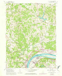
1961 Map of Little Hocking
USGS Topo · Published 1973About this map
Blennerhassett Island sits prominently in the Ohio River at the southern edge of this mid-century landscape, where the Baltimore and Ohio railroad corridor tracks the river's northern bank. The terrain is defined by the winding course of the Little Hocking River and its numerous tributaries like Mill Branch and Little West Branch, which carve through the dense woodlands of the Wayne National Forest. Local life is anchored by small settlements and rural crossroads such as Little Hocking, Porterfield, and Dunbar. Genealogists will find a wealth of family and community landmarks, from the Fairfield Cem and Quaker Cem to country churches like Barnett Ridge Ch and Decatur Ch. The 1971 photorevisions highlight postwar development around Lake Washington and the industrial infrastructure at Washington Bottom, contrasting with the established agricultural patterns of Tick Ridge and Napier.
Find a feature on this map
59 named features on this map. Tap any name to fly to it.
Don’t see what you’re looking for? This feature index may not catch every label — zoom into the map to look around manually.
Map Details
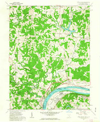
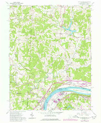
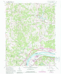
Editions of this 1961 Little Hocking Map
4 editions found
Other maps of this area

1902 · Parkersburg
USGS Topo · 1:62,500

1904 · Parkersburg
USGS Topo · 1:62,500

1904 · Chesterhill
USGS Topo · 1:62,500

1906 · Belleville
USGS Topo · 1:62,500

1906 · Chesterhill
USGS Topo · 1:62,500

1907 · Keno
USGS Topo · 1:62,500

1924 · Belleville
USGS Topo · 1:62,500

1926 · Belleville
USGS Topo · 1:62,500

1949 · Clarksburg
USGS Topo · 1:250,000

1956 · Clarksburg
USGS Topo · 1:250,000