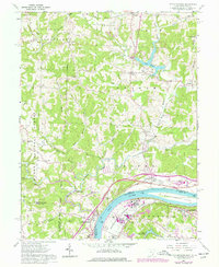
1961 Map of Little Hocking
USGS Topo · Published 1977About this map
The confluence of the Hocking River and the Ohio River anchors this mid-century portrait of Washington County, where the industrial presence of Little Hocking meets the agricultural lands of Fairfield and Barlow townships. Revisions from the 1970s illustrate the growth of the Baltimore and Ohio rail corridor and the development of Lake Washington, contrasting with the preserved woodlands of the Wayne National Forest in the west.
Find a feature on this map
64 named features on this map. Tap any name to fly to it.
Don’t see what you’re looking for? This feature index may not catch every label — zoom into the map to look around manually.
Map Details
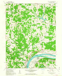
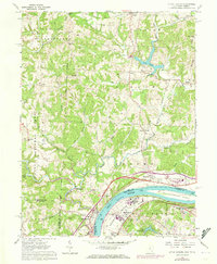
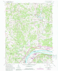
Editions of this 1961 Little Hocking Map
4 editions found
Other maps of this area

1902 · Parkersburg
USGS Topo · 1:62,500

1904 · Parkersburg
USGS Topo · 1:62,500

1904 · Chesterhill
USGS Topo · 1:62,500

1906 · Belleville
USGS Topo · 1:62,500

1906 · Chesterhill
USGS Topo · 1:62,500

1907 · Keno
USGS Topo · 1:62,500

1924 · Belleville
USGS Topo · 1:62,500

1926 · Belleville
USGS Topo · 1:62,500

1949 · Clarksburg
USGS Topo · 1:250,000

1956 · Clarksburg
USGS Topo · 1:250,000