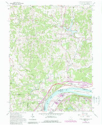
1961 Map of Little Hocking
USGS Topo · Published 1989About this map
The Ohio River forms a major geographic boundary on this 1961 survey, which captures the riverine and industrial landscape between Washington County, Ohio, and Wood County, West Virginia. The terrain is characterized by the winding course of the Little Hocking River and the significant presence of Blennerhassett Island in the main channel. The map illustrates a rural area undergoing modern infrastructure updates, with numerous Gas Wells and Oil Wells peppered across the ridges, and a localized concentration of industry near Washington, including a Filtration Plant and Substation.
Find a feature on this map
64 named features on this map. Tap any name to fly to it.
Don’t see what you’re looking for? This feature index may not catch every label — zoom into the map to look around manually.
Map Details
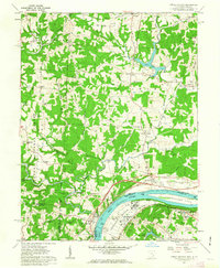
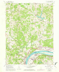
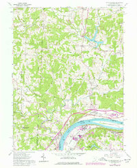
Editions of this 1961 Little Hocking Map
4 editions found
Other maps of this area

1902 · Parkersburg
USGS Topo · 1:62,500

1904 · Parkersburg
USGS Topo · 1:62,500

1904 · Chesterhill
USGS Topo · 1:62,500

1906 · Belleville
USGS Topo · 1:62,500

1906 · Chesterhill
USGS Topo · 1:62,500

1907 · Keno
USGS Topo · 1:62,500

1924 · Belleville
USGS Topo · 1:62,500

1926 · Belleville
USGS Topo · 1:62,500

1949 · Clarksburg
USGS Topo · 1:250,000

1956 · Clarksburg
USGS Topo · 1:250,000