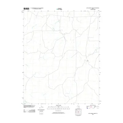
2010 Map of Little Indian Creek
USGS Topo · Published 2010About this map
The high plains of Potter County are defined here by a network of drainage systems cutting through the arid landscape toward the Canadian River at the southern boundary. The topography is shaped by the parallel courses of Indian Creek and Little Indian Creek, which flow southward through an area primarily dedicated to large-scale ranching. The presence of the Bivins X L Ranch center points to the region's enduring cattle industry, showing the sparse but critical human footprint in this part of the Texas Panhandle. Other seasonal waterways, including Sand Creek and Corral Creek, further delineate the terrain, illustrating the natural water management patterns essential for land use in this semi-arid environment during the early 21st century.
Find a feature on this map
6 named features on this map. Tap any name to fly to it.
Don’t see what you’re looking for? This feature index may not catch every label — zoom into the map to look around manually.
Map Details
Editions of this 2010 Little Indian Creek Map
This is the sole edition of this map. No revisions or reprints were ever made.
Other maps of this area

1934 · Ady
USGS Topo · 1:62,500

1934 · Cliffside
USGS Topo · 1:62,500

1936 · Fourways
USGS Topo · 1:62,500

1936 · Cliffside
USGS Topo · 1:62,500

1936 · Ady
USGS Topo · 1:62,500

1953 · Marsh
USGS Topo · 1:24,000

1953 · Puente
USGS Topo · 1:24,000

1953 · Masterson
USGS Topo · 1:24,000

1954 · Tucumcari
USGS Topo · 1:250,000

1954 · Amarillo
USGS Topo · 1:250,000