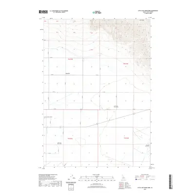
2020 Map of Little Lost River Sinks
USGS Topo · Published 2020About this map
The Little Lost River Valley forms the central geographic feature of this Idaho landscape, where the waters of the Little Lost River eventually reach the Little Lost River Sinks. This endorheic drainage pattern is a defining characteristic of the region, mirrored in the southeast by the Big Lost River Sinks where the Big Lost River terminates. The terrain is bounded to the northeast by the rising slopes of the Lemhi Range, which provides a sharp contrast to the flat basin floor below.
Find a feature on this map
17 named features on this map. Tap any name to fly to it.
Don’t see what you’re looking for? This feature index may not catch every label — zoom into the map to look around manually.
Map Details
Editions of this 2020 Little Lost River Sinks Map
This is the sole edition of this map. No revisions or reprints were ever made.
Other maps of this area

1955 · Idaho Falls
USGS Topo · 1:250,000

1958 · Idaho Falls
USGS Topo · 1:250,000

1969 · Little Lost River Sinks
USGS Topo · 1:24,000

1969 · Richard Butte
USGS Topo · 1:24,000

1969 · Tyler Peak
USGS Topo · 1:24,000

1969 · Howe
USGS Topo · 1:24,000

1969 · Howe NE
USGS Topo · 1:24,000

1969 · Big Lost River Sinks
USGS Topo · 1:24,000

1972 · Howe Peak
USGS Topo · 1:24,000

1973 · Circular Butte 3 NE
USGS Topo · 1:24,000