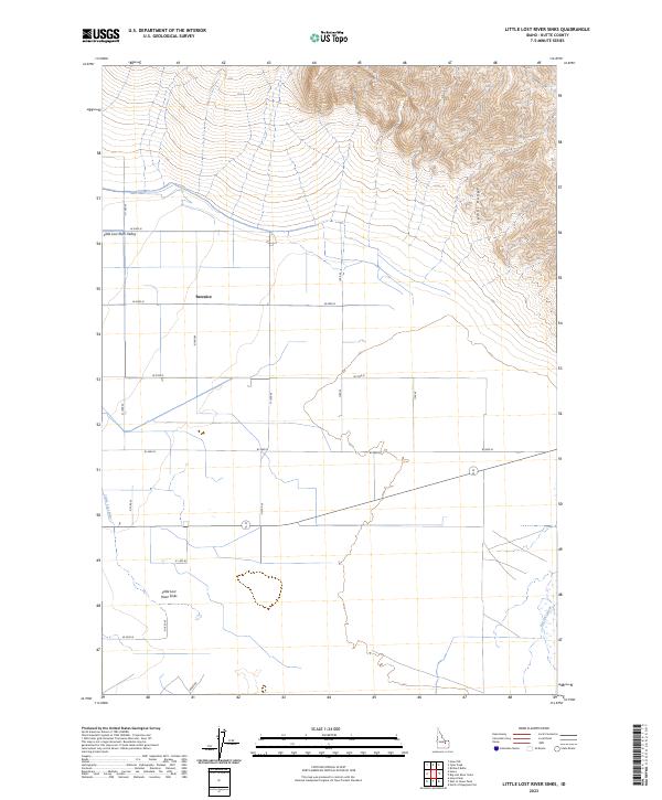
2023 Map of Little Lost River Sinks
USGS Topo · Published 2023About this map
The Little Lost River Valley serves as a stark geological transition where surface water disappears into the subterranean aquifer of the Snake River Plain. This arid landscape is defined by the Little Lost River Sinks, a terminal drainage point where the Little Lost River terminates in a series of depressions rather than flowing to the sea. The settlement of Berenice is positioned along the valley floor, surrounded by a grid of agricultural section lines and rural routes such as Howe Rd. To the northeast, the topography rises sharply into the high peaks of the Lemhi Range, contrasting the flat alluvial basin below. This map captures the hydrologic curiosity of a region where two distinct systems, including the Big Lost River to the southeast, vanish into the porous volcanic geology of Idaho's high desert.
Find a feature on this map
24 named features on this map. Tap any name to fly to it.
Don’t see what you’re looking for? This feature index may not catch every label — zoom into the map to look around manually.
Map Details
Editions of this 2023 Little Lost River Sinks Map
This is the sole edition of this map. No revisions or reprints were ever made.
Other maps of this area

1955 · Idaho Falls
USGS Topo · 1:250,000

1958 · Idaho Falls
USGS Topo · 1:250,000

1969 · Little Lost River Sinks
USGS Topo · 1:24,000

1969 · Richard Butte
USGS Topo · 1:24,000

1969 · Tyler Peak
USGS Topo · 1:24,000

1969 · Howe
USGS Topo · 1:24,000

1969 · Howe NE
USGS Topo · 1:24,000

1969 · Big Lost River Sinks
USGS Topo · 1:24,000

1972 · Howe Peak
USGS Topo · 1:24,000

1973 · Circular Butte 3 NE
USGS Topo · 1:24,000