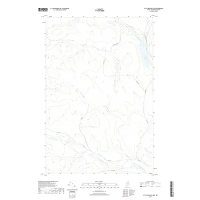
2018 Map of Little Machias Lake
USGS Topo · Published 2018About this map
Little Machias Lake dominates the northeastern corner of this Aroostook County landscape, serving as the headwaters for the Little Machias River. This interior Maine territory is defined by a dense network of waterways, including Greenlaw Stream, Webster Brook, and the numerically sequenced Fourmile Brook, Sixmile Brook, and Tenmile Brook. The drainage patterns here reveal a complex system of brooks that feed into the larger regional basins.
Find a feature on this map
14 named features on this map. Tap any name to fly to it.
Don’t see what you’re looking for? This feature index may not catch every label — zoom into the map to look around manually.
Map Details
Editions of this 2018 Little Machias Lake Map
This is the sole edition of this map. No revisions or reprints were ever made.
Other maps of this area

1928 · Winterville
USGS Topo · 1:48,000

1929 · Portage
USGS Topo · 1:62,500

1930 · Greenlaw
USGS Topo · 1:48,000

1931 · Ashland
USGS Topo · 1:48,000

1931 · Portage
USGS Topo · 1:62,500

1931 · Winterville
USGS Topo · 1:62,500

1933 · Greenlaw
USGS Topo · 1:62,500

1934 · Ashland
USGS Topo · 1:62,500

1953 · Ashland
USGS Topo · 1:62,500

1953 · Portage
USGS Topo · 1:62,500