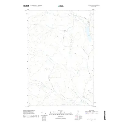
2021 Map of Little Machias Lake
USGS Topo · Published 2021About this map
Little Machias Lake and its surrounding watershed define this pocket of Aroostook County, where the Little Machias River winds through a landscape of wetlands and northern forests. This 2021 survey illustrates a region dominated by timber-industry infrastructure, characterized by a network of logging and access routes such as Realty Rd, Pinkham Rd, and McCormick Rd. These roads provide the primary navigation through the drainage basins of several named waterways, including Sterling Brook, Webster Brook, and Greenlaw Stream. The topographic data highlights the low-lying marshlands and the numerous small tributaries like Sixmile Brook and Fourmile Brook that feed into the larger river system, reflecting the area's role as a vital drainage corridor in the Maine north woods.
Find a feature on this map
13 named features on this map. Tap any name to fly to it.
Don’t see what you’re looking for? This feature index may not catch every label — zoom into the map to look around manually.
Map Details
Editions of this 2021 Little Machias Lake Map
This is the sole edition of this map. No revisions or reprints were ever made.
Other maps of this area

1928 · Winterville
USGS Topo · 1:48,000

1929 · Portage
USGS Topo · 1:62,500

1930 · Greenlaw
USGS Topo · 1:48,000

1931 · Ashland
USGS Topo · 1:48,000

1931 · Portage
USGS Topo · 1:62,500

1931 · Winterville
USGS Topo · 1:62,500

1933 · Greenlaw
USGS Topo · 1:62,500

1934 · Ashland
USGS Topo · 1:62,500

1953 · Ashland
USGS Topo · 1:62,500

1953 · Portage
USGS Topo · 1:62,500