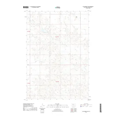
2017 Map of Little Moreau Lake
USGS Topo · Published 2017About this map
The Little Moreau River carves a winding path through the high plains of Dewey County, defining the drainage patterns of this sparsely settled landscape. This 2017 survey shows a region where human impact is primarily defined by a sparse grid of county roads, including Co Rd 5k and Co Rd 5a, which follow the section lines of the Public Land Survey System. The topography is punctuated by prominent landforms such as Twin Buttes in the northeastern quadrant, serving as traditional navigational landmarks in an area dominated by open range and coulees. Central to the map is Little Moreau Lake, a significant water feature that provides a focal point for the surrounding terrain. The map details the transition between townships T16N R24E and T16N R25E, illustrating the precise legal boundaries that have shaped land ownership and use in this part of South Dakota for generations.
Find a feature on this map
14 named features on this map. Tap any name to fly to it.
Don’t see what you’re looking for? This feature index may not catch every label — zoom into the map to look around manually.
Map Details
Editions of this 2017 Little Moreau Lake Map
This is the sole edition of this map. No revisions or reprints were ever made.
Other maps of this area

1951 · Ridgeview NW
USGS Topo · 1:24,000

1952 · Whitehorse
USGS Topo · 1:24,000

1952 · Parade NE
USGS Topo · 1:24,000

1952 · Parade NW
USGS Topo · 1:24,000

1953 · McIntosh
USGS Topo · 1:250,000

1958 · McIntosh
USGS Topo · 1:250,000

1975 · Glencross
USGS Topo · 1:24,000

1978 · Brewer Butte
USGS Topo · 1:24,000

1978 · Timber Lake
USGS Topo · 1:24,000

1978 · Little Moreau Lake
USGS Topo · 1:24,000