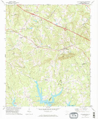
1971 Map of Little Mountain
USGS Topo · Published 1974About this map
The prominent topographic rise of Little Mountain anchors the landscape of this Newberry and Lexington County border region during the early 1970s. This landmark provides a high point overlooking the intricate northern shorelines of Lake Murray, where numerous inlets like Buffalo Creek and Stevens Creek reach into the surrounding farmland. The settlement pattern is defined by rural crossroads and the Southern railway line, which links smaller communities such as Slighs and Jollystreet.
Find a feature on this map
43 named features on this map. Tap any name to fly to it.
Don’t see what you’re looking for? This feature index may not catch every label — zoom into the map to look around manually.
Map Details
Editions of this 1971 Little Mountain Map
2 editions found
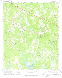
Other maps of this area

1904 · Columbia
USGS Topo · 1:125,000

1941 · Spartanburg
USGS Topo · 1:250,000

1953 · Spartanburg
USGS Topo · 1:250,000

1960 · Spartanburg
USGS Topo · 1:250,000

1963 · Spartanburg
USGS Topo · 1:250,000

1964 · Spartanburg
USGS Topo · 1:250,000

1968 · Newberry East
USGS Topo · 1:24,000

1969 · Pomaria
USGS Topo · 1:24,000
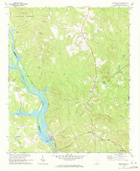
1969 · Jenkinsville
USGS Topo · 1:24,000
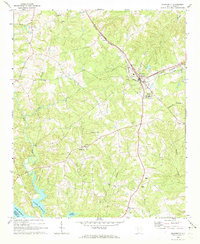
1970 · Prosperity
USGS Topo · 1:24,000