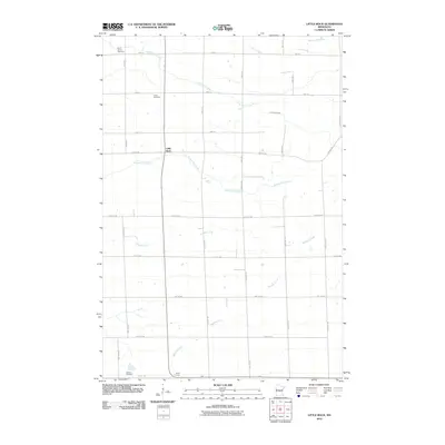
2010 Map of Little Rock
USGS Topo · Published 2010About this map
Saint Johns Cemetery and Union Cemetery sit amidst the agricultural grid of Morrison County, illustrating the enduring placement of early community burial grounds in central Minnesota. The small settlement of Little Rock serves as a central point in a landscape defined by a dense network of watercourses, where Little Rock Creek and Bunker Hill Creek meander across a terrain otherwise dominated by straight-line section roads. To the south, Silver Corners and Graham Cemetery mark additional points of interest for local historians, showing the distribution of small crossroads and family sites. The map detail reflects a steady, rural continuity, preserving the locations of names like Zuleger Creek and Mayhew Creek as they traverse the dairy and crop lands near the Benton and Morrison County border.
Find a feature on this map
33 named features on this map. Tap any name to fly to it.
Don’t see what you’re looking for? This feature index may not catch every label — zoom into the map to look around manually.
Map Details
Editions of this 2010 Little Rock Map
This is the sole edition of this map. No revisions or reprints were ever made.
Other maps of this area

1948 · Pierz
USGS Topo · 1:62,500

1950 · Pierz
USGS Topo · 1:62,500

1950 · St. Cloud
USGS Topo · 1:62,500

1953 · Saint Cloud
USGS Topo · 1:250,000

1953 · Stillwater
USGS Topo · 1:250,000

1955 · Stillwater
USGS Topo · 1:250,000

1957 · Saint Cloud
USGS Topo · 1:250,000

1958 · Stillwater
USGS Topo · 1:250,000

1958 · Saint Cloud
USGS Topo · 1:250,000

1965 · Stillwater
USGS Topo · 1:250,000