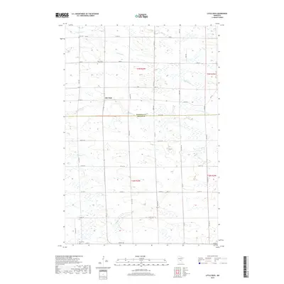
2019 Map of Little Rock
USGS Topo · Published 2019About this map
The community of Little Rock sits at the heart of this landscape, bridging the boundary between Morrison Co and Benton Co in central Minnesota. This 2019 survey documents a rural environment defined by a intricate network of drainage and local history. Genealogists will find three significant burial sites: Union Cem to the north, Saint John's Lutheran Cem near the town center, and Graham Cem situated along the southern border near Co Hwy 2. The terrain is shaped by numerous watercourses, including Little Rock Cr and Bunker Hill Cr, which wind through a grid of section-line roads such as Nature Rd and Co Hwy 12. The transition between the two counties is marked by subtle shifts in road nomenclature, from the numbered streets of Morrison to the avenue-and-street grid of Benton.
Find a feature on this map
44 named features on this map. Tap any name to fly to it.
Don’t see what you’re looking for? This feature index may not catch every label — zoom into the map to look around manually.
Map Details
Editions of this 2019 Little Rock Map
This is the sole edition of this map. No revisions or reprints were ever made.
Other maps of this area

1948 · Pierz
USGS Topo · 1:62,500

1950 · Pierz
USGS Topo · 1:62,500

1950 · St. Cloud
USGS Topo · 1:62,500

1953 · Saint Cloud
USGS Topo · 1:250,000

1953 · Stillwater
USGS Topo · 1:250,000

1955 · Stillwater
USGS Topo · 1:250,000

1957 · Saint Cloud
USGS Topo · 1:250,000

1958 · Stillwater
USGS Topo · 1:250,000

1958 · Saint Cloud
USGS Topo · 1:250,000

1965 · Stillwater
USGS Topo · 1:250,000