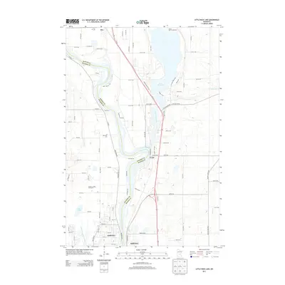
2013 Map of Little Rock Lake
USGS Topo · Published 2013About this map
The Mississippi River carves a winding path along the boundary of Benton and Stearns counties, serving as the central artery for this part of central Minnesota. In the southern reach, the growing city of Sartell occupies both banks of the river, while the smaller settlements of Watab and Rice lie further north along the Us-10 corridor. The landscape is defined by the transition from riverine lowlands to the recreational waters of Little Rock Lake, which features the Benton Beach Campground on its northern shore.
Find a feature on this map
61 named features on this map. Tap any name to fly to it.
Don’t see what you’re looking for? This feature index may not catch every label — zoom into the map to look around manually.
Map Details
Editions of this 2013 Little Rock Lake Map
This is the sole edition of this map. No revisions or reprints were ever made.
Other maps of this area

1948 · Pierz
USGS Topo · 1:62,500

1948 · Little Falls
USGS Topo · 1:62,500

1950 · Little Falls
USGS Topo · 1:62,500

1950 · Pierz
USGS Topo · 1:62,500

1950 · St. Cloud
USGS Topo · 1:62,500

1953 · Saint Cloud
USGS Topo · 1:250,000

1957 · Saint Cloud
USGS Topo · 1:250,000

1958 · Saint Cloud
USGS Topo · 1:250,000

1965 · St Stephen
USGS Topo · 1:24,000

1965 · St Joseph
USGS Topo · 1:24,000