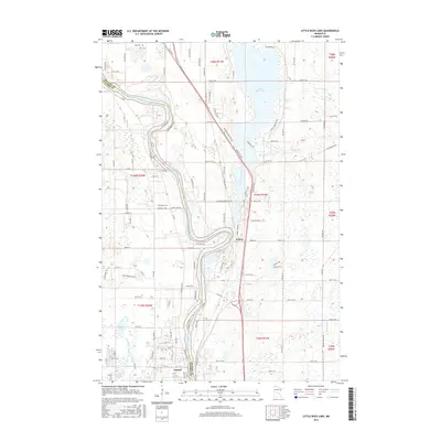
2016 Map of Little Rock Lake
USGS Topo · Published 2016About this map
The Mississippi River defines the western corridor of this mid-2010s landscape, serving as the border between Benton and Stearns counties. The area is characterized by significant water bodies, notably Little Rock Lake in the northeast and the meandering paths of Little Rock Creek and Sucker Cr. Settlement patterns are concentrated around Sartell at the southern edge and the community of Watab further north along the river's eastern bank.
Find a feature on this map
118 named features on this map. Tap any name to fly to it.
Don’t see what you’re looking for? This feature index may not catch every label — zoom into the map to look around manually.
Map Details
Editions of this 2016 Little Rock Lake Map
This is the sole edition of this map. No revisions or reprints were ever made.
Other maps of this area

1948 · Pierz
USGS Topo · 1:62,500

1948 · Little Falls
USGS Topo · 1:62,500

1950 · Little Falls
USGS Topo · 1:62,500

1950 · Pierz
USGS Topo · 1:62,500

1950 · St. Cloud
USGS Topo · 1:62,500

1953 · Saint Cloud
USGS Topo · 1:250,000

1957 · Saint Cloud
USGS Topo · 1:250,000

1958 · Saint Cloud
USGS Topo · 1:250,000

1965 · St Stephen
USGS Topo · 1:24,000

1965 · St Joseph
USGS Topo · 1:24,000