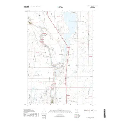
2019 Map of Little Rock Lake
USGS Topo · Published 2019About this map
The Mississippi River defines the western corridor of this 2019 survey, carving through the boundary between Stearns and Benton counties. Along this vital waterway, the industrial and residential footprints of Sartell and Sauk Rapids are clearly delineated, showing the modern extent of these central Minnesota communities. To the east, the landscape opens into the waters of Little Rock Lake and the meandering path of Little Rock Creek, a region characterized by a mix of wetlands and agricultural tracts.
Find a feature on this map
68 named features on this map. Tap any name to fly to it.
Don’t see what you’re looking for? This feature index may not catch every label — zoom into the map to look around manually.
Map Details
Editions of this 2019 Little Rock Lake Map
This is the sole edition of this map. No revisions or reprints were ever made.
Other maps of this area

1948 · Pierz
USGS Topo · 1:62,500

1948 · Little Falls
USGS Topo · 1:62,500

1950 · Little Falls
USGS Topo · 1:62,500

1950 · Pierz
USGS Topo · 1:62,500

1950 · St. Cloud
USGS Topo · 1:62,500

1953 · Saint Cloud
USGS Topo · 1:250,000

1957 · Saint Cloud
USGS Topo · 1:250,000

1958 · Saint Cloud
USGS Topo · 1:250,000

1965 · St Stephen
USGS Topo · 1:24,000

1965 · St Joseph
USGS Topo · 1:24,000