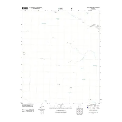
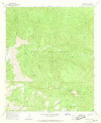
2011 Map of Little Turkey Park
USGS Topo · Published 2011About this map
The West Fork Gila River and the Gila River frame a landscape of deep drainages and vital water resources in this southwest New Mexico territory. Water tanks, essential for ranching and wildlife in this arid environment, are scattered throughout the quadrangle, including the curiously named Crash Landing Tank and Locked Horns Tank. At high elevations, the Granite Peak Lookout stands atop Granite Peak, overlooking a network of named canyons like Bloodgood Canyon and Cliff Dweller Canyon. Evidence of land use is found at E E Corral and the Grudging Cabin, suggesting a history of cattle management and remote habitation. The inclusion of the Scorpion Corral Campground indicates the area's role as a point of access for those exploring the high country near Brushy Mountain and the meadowed opening of Little Turkey Park.
Find a feature on this map
26 named features on this map. Tap any name to fly to it.
Don’t see what you’re looking for? This feature index may not catch every label — zoom into the map to look around manually.
Map Details
Editions of this 2011 Little Turkey Park Map
This is the sole edition of this map. No revisions or reprints were ever made.
Other maps of this area

1911 · Alum Mountain
USGS Topo · 1:125,000

1913 · Alum Mountain
USGS Topo · 1:125,000

1954 · Clifton
USGS Topo · 1:250,000

1957 · Clifton
USGS Topo · 1:250,000

1958 · Clifton
USGS Topo · 1:250,000

1962 · Clifton
USGS Topo · 1:250,000
1965 · Diablo Range
USGS Topo · 1:24,000
1965 · Copperas Peak
USGS Topo · 1:24,000
1965 · Lilley Mountain
USGS Topo · 1:24,000
1965 · Canyon Hill
USGS Topo · 1:24,000