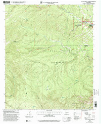
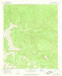
1999 Map of Little Turkey Park
USGS Topo · Published 2002About this map
Gila Cliff Dwellings National Monument anchors the northeastern corner of this terrain, where the West Fork Gila River meets canyon walls near Upper Scorpion and Lower Scorpion. This area, managed by the U.S. Department of Agriculture and the U.S. Geological Survey, centers on the remote and protected landscapes of the Gila Wilderness and Gila National Forest. Evidence of backcountry travel and stock management is visible through the Miller Springs Trail and numerous water catchments like Sycamore Tank and Lost Mule Tank.
Find a feature on this map
36 named features on this map. Tap any name to fly to it.
Don’t see what you’re looking for? This feature index may not catch every label — zoom into the map to look around manually.
Map Details
Editions of this 1999 Little Turkey Park Map
This is the sole edition of this map. No revisions or reprints were ever made.
Other maps of this area

1911 · Alum Mountain
USGS Topo · 1:125,000

1913 · Alum Mountain
USGS Topo · 1:125,000

1954 · Clifton
USGS Topo · 1:250,000

1957 · Clifton
USGS Topo · 1:250,000

1958 · Clifton
USGS Topo · 1:250,000

1962 · Clifton
USGS Topo · 1:250,000
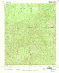
1965 · Diablo Range
USGS Topo · 1:24,000
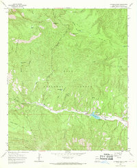
1965 · Copperas Peak
USGS Topo · 1:24,000
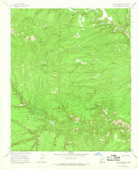
1965 · Lilley Mountain
USGS Topo · 1:24,000
1965 · Canyon Hill
USGS Topo · 1:24,000