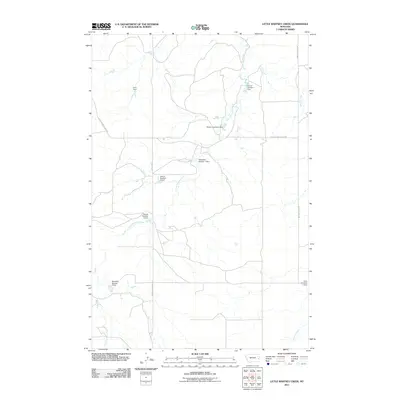
2011 Map of Little Whitney Creek
USGS Topo · Published 2011About this map
Little Whitney Creek and Whitney Creek define this rural drainage system in Prairie County, where the landscape is marked by a complex series of water management features. The distribution of small-scale reservoirs, including Payton Number 1 Dam and Saucer Number 5 Dam, reflects the necessity of water storage in this arid part of eastern Montana. Named for local families and landmarks, these dams and their corresponding basins are the primary structural interventions in an otherwise open terrain.
Find a feature on this map
15 named features on this map. Tap any name to fly to it.
Don’t see what you’re looking for? This feature index may not catch every label — zoom into the map to look around manually.
Map Details
Editions of this 2011 Little Whitney Creek Map
This is the sole edition of this map. No revisions or reprints were ever made.
Other maps of this area

1953 · Miles City
USGS Topo · 1:250,000

1957 · Miles City
USGS Topo · 1:250,000

1958 · Miles City
USGS Topo · 1:250,000

1969 · Little Whitney Creek
USGS Topo · 1:24,000

1969 · Hogan Creek
USGS Topo · 1:24,000

1969 · Montague Butte
USGS Topo · 1:24,000

1969 · Flat Top Butte SW
USGS Topo · 1:24,000

1969 · Flat Top Butte
USGS Topo · 1:24,000

1969 · Flat Top Butte NE
USGS Topo · 1:24,000

1980 · Terry
USGS Topo · 1:100,000