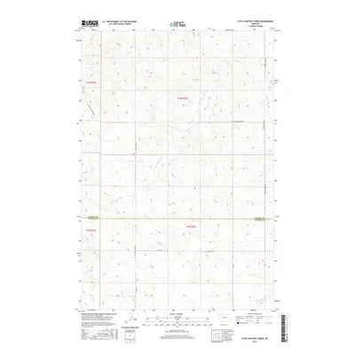
2017 Map of Little Whitney Creek
USGS Topo · Published 2017About this map
Little Whitney Creek and Whitney Cr carve through this section of eastern Montana, where the boundary between Prairie and Custer counties divides the landscape. This 2017 survey details a remote ranching and grazing environment defined by an intricate network of local roads and section lines rather than concentrated settlements. Long-distance transit is represented by significant routes such as Stage Line Rd and Terry Cut Across Rd, which suggest the historic movement of people and livestock across these open plains. The map provides a precise look at the township and range system, specifically within t10n r53e and t9n r53e, illustrating how the land has been subdivided for agricultural and range use. Genealogists and local historians can trace property boundaries and access routes like Whitney Creek Rd and Co Rd 312 as they existed in the early 21st century.
Find a feature on this map
14 named features on this map. Tap any name to fly to it.
Don’t see what you’re looking for? This feature index may not catch every label — zoom into the map to look around manually.
Map Details
Editions of this 2017 Little Whitney Creek Map
This is the sole edition of this map. No revisions or reprints were ever made.
Other maps of this area

1953 · Miles City
USGS Topo · 1:250,000

1957 · Miles City
USGS Topo · 1:250,000

1958 · Miles City
USGS Topo · 1:250,000

1969 · Little Whitney Creek
USGS Topo · 1:24,000

1969 · Hogan Creek
USGS Topo · 1:24,000

1969 · Montague Butte
USGS Topo · 1:24,000

1969 · Flat Top Butte SW
USGS Topo · 1:24,000

1969 · Flat Top Butte
USGS Topo · 1:24,000

1969 · Flat Top Butte NE
USGS Topo · 1:24,000

1980 · Terry
USGS Topo · 1:100,000