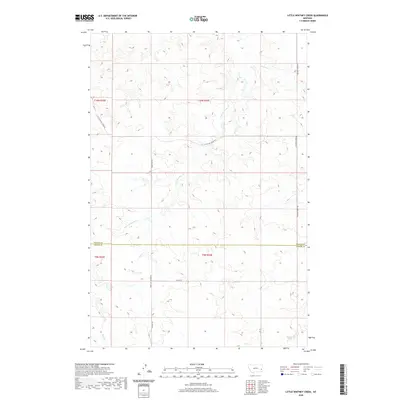
2020 Map of Little Whitney Creek
USGS Topo · Published 2020About this map
Little Whitney Cr and Whitney Cr wind through this corner of the Montana high plains, where the border between Prairie and Custer counties divides a landscape defined by expansive drainage networks. The drainage of Coal Creek in the southwest corner further illustrates the intricate topography of the region's coulees and breaks. This map records a remote ranching and transit landscape, where the naming of Stage Line Rd and the Terry Cut-Off Rd suggests a history of overland travel routes connecting isolated homesteads and grazing lands. Other local corridors like Little Whitney Creek Rd and Whitney Creek Rd follow the natural contours of the watercourses, providing essential access through the township and range grids of T10N and T9N.
Find a feature on this map
15 named features on this map. Tap any name to fly to it.
Don’t see what you’re looking for? This feature index may not catch every label — zoom into the map to look around manually.
Map Details
Editions of this 2020 Little Whitney Creek Map
This is the sole edition of this map. No revisions or reprints were ever made.
Other maps of this area

1953 · Miles City
USGS Topo · 1:250,000

1957 · Miles City
USGS Topo · 1:250,000

1958 · Miles City
USGS Topo · 1:250,000

1969 · Little Whitney Creek
USGS Topo · 1:24,000

1969 · Hogan Creek
USGS Topo · 1:24,000

1969 · Montague Butte
USGS Topo · 1:24,000

1969 · Flat Top Butte SW
USGS Topo · 1:24,000

1969 · Flat Top Butte
USGS Topo · 1:24,000

1969 · Flat Top Butte NE
USGS Topo · 1:24,000

1980 · Terry
USGS Topo · 1:100,000