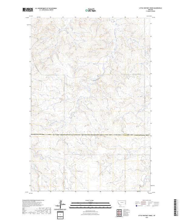
2024 Map of Little Whitney Creek
USGS Topo · Published 2024About this map
Little Whitney Creek and Whitney Creek carve through this Montana landscape, where the prairie of Prairie County meets Custer County. The geography is defined by a series of drainages and the sparse network of rural routes that facilitate travel through these grasslands. Significant local corridors include Stage Line Rd and Terry Cut Across Rd, names that suggest the historical transit patterns of the region. The map shows the intersection of these roads with smaller routes like Co Rd 312 and Little Whitney Creek Rd. This modern survey reveals a landscape where water and roads follow the natural contours of the land, providing a clear view of the drainage basin for Coal Creek in the southwest corner. The spatial arrangement of these features reflects the enduring nature of livestock grazing and land management in this portion of the state.
Find a feature on this map
14 named features on this map. Tap any name to fly to it.
Don’t see what you’re looking for? This feature index may not catch every label — zoom into the map to look around manually.
Map Details
Editions of this 2024 Little Whitney Creek Map
This is the sole edition of this map. No revisions or reprints were ever made.
Other maps of this area

1953 · Miles City
USGS Topo · 1:250,000

1957 · Miles City
USGS Topo · 1:250,000

1958 · Miles City
USGS Topo · 1:250,000

1969 · Little Whitney Creek
USGS Topo · 1:24,000

1969 · Hogan Creek
USGS Topo · 1:24,000

1969 · Montague Butte
USGS Topo · 1:24,000

1969 · Flat Top Butte SW
USGS Topo · 1:24,000

1969 · Flat Top Butte
USGS Topo · 1:24,000

1969 · Flat Top Butte NE
USGS Topo · 1:24,000

1980 · Terry
USGS Topo · 1:100,000