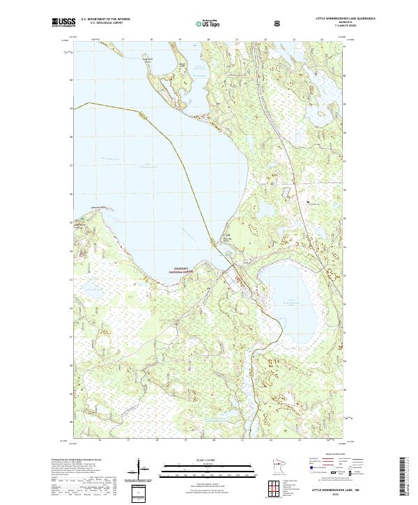
2022 Map of Little Winnibigoshish Lake
USGS Topo · Published 2022About this map
Chippewa National Forest surrounds the vast waters of Lake Winnibigoshish and its smaller counterpart, Little Winnibigoshish Lake, in this northern Minnesota landscape. The map shows a critical hydraulic and ecological nexus where the Mississippi River winds through deep bays and points. Notable terrain features like Sugarbush Point, Battle Point, and Inspiration Point define the jagged shoreline, while the Fairbanks Cem provides a specific point of interest for genealogists tracing local families. The area is heavily managed for conservation and recreation, evidenced by the presence of the West Banks Number Two Impoundment and an extensive network of trails, including the Avenue Of Pines Snowmobile Tr-Trl. The boundary between Itasca and Cass Counties cuts directly through the lake, marking an administrative divide across these interconnected northern waters.
Find a feature on this map
37 named features on this map. Tap any name to fly to it.
Don’t see what you’re looking for? This feature index may not catch every label — zoom into the map to look around manually.
Map Details
Editions of this 2022 Little Winnibigoshish Lake Map
This is the sole edition of this map. No revisions or reprints were ever made.
Other maps of this area

1919 · Max
USGS Topo · 1:62,500

1954 · Bemidji
USGS Topo · 1:250,000

1954 · Hibbing
USGS Topo · 1:250,000

1957 · Bemidji
USGS Topo · 1:250,000

1957 · Hibbing
USGS Topo · 1:250,000

1958 · Bemidji
USGS Topo · 1:250,000

1958 · Hibbing
USGS Topo · 1:250,000

1964 · Hibbing
USGS Topo · 1:250,000

1970 · Bowstring Lake
USGS Topo · 1:24,000

1970 · Ball Club
USGS Topo · 1:24,000