
1970 Map of Ball Club
USGS Topo · Published 1973About this map
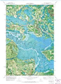
Ball Club Lake dominates this 1970 orthophotomap, showing the intricate water systems at the meeting of Itasca and Cass Counties. This hybrid survey uses aerial imagery to show the dense vegetation of the Chippewa National Forest and the winding course of the Mississippi River as it meanders through the marshy lowlands toward Mud Lake.
Find a feature on this map
23 named features on this map. Tap any name to fly to it.
Don’t see what you’re looking for? This feature index may not catch every label — zoom into the map to look around manually.
Map Details
Editions of this 1970 Ball Club Map
This is the sole edition of this map. No revisions or reprints were ever made.
Other maps of this area

1954 · Bemidji
USGS Topo · 1:250,000

1954 · Hibbing
USGS Topo · 1:250,000

1957 · Bemidji
USGS Topo · 1:250,000

1957 · Hibbing
USGS Topo · 1:250,000

1958 · Bemidji
USGS Topo · 1:250,000

1958 · Hibbing
USGS Topo · 1:250,000

1964 · Hibbing
USGS Topo · 1:250,000

1970 · Deer River NE
USGS Topo · 1:24,000
1970 · Deer River
USGS Topo · 1:24,000
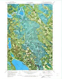
1970 · Little Ball Club Lake
USGS Topo · 1:24,000