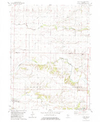
1982 Map of Little York
USGS Topo · Published 1984About this map
Little York and the surrounding agricultural townships of Sumner and Spring Grove define this portion of the western Illinois prairie as it appeared in the early 1980s. The landscape is deeply etched by a network of drainage ways, most notably Henderson Creek and Cedar Creek, which provide topographical relief against the systematic grid of rural roads and farmsteads. Evidence of earlier transportation infrastructure is visible in the north, where an Old Railroad Grade cuts through Suez township toward Alexis Junction. Several focal points for local genealogy and community history are present, including the Norwood Ch and its namesake settlement Norwood. Scattered family and community burial grounds like Cedar Creek Cem, Spring Grove Cem, and Brownlee Cem offer a tangible link to the 19th-century pioneers who established these townships.
Find a feature on this map
22 named features on this map. Tap any name to fly to it.
Don’t see what you’re looking for? This feature index may not catch every label — zoom into the map to look around manually.
Map Details
Editions of this 1982 Little York Map
2 editions found
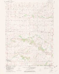
Other maps of this area

1921 · Monmouth
USGS Topo · 1:62,500

1923 · Monmouth
USGS Topo · 1:62,500

1923 · Alexis
USGS Topo · 1:62,500

1925 · Alexis
USGS Topo · 1:62,500

1934 · Oquawka
USGS Topo · 1:48,000

1935 · Keithsburg
USGS Topo · 1:48,000

1940 · Oquawka
USGS Topo · 1:62,500

1941 · Keithsburg
USGS Topo · 1:62,500

1953 · Viola
USGS Topo · 1:24,000
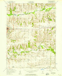
1953 · Aledo East
USGS Topo · 1:24,000