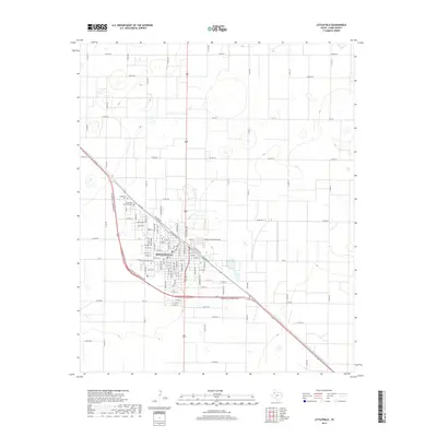
2019 Map of Littlefield
USGS Topo · Published 2019About this map
Littlefield serves as the primary urban center for this High Plains quadrangle, structured by a rigorous grid of residential streets and arterial highways. The town's layout is bisected by major thoroughfares such as W Marshall Howard Blvd and N Eastside Ave, reflecting its role as a regional crossroads in Lamb County. To the northwest, the Littlefield Cem and Littlefield Memorial Park provide essential landmarks for genealogical research, situated near the intersection of Trondson Rd and N Westside Ave. The surrounding landscape is characterized by an extensive network of county roads, including Co Rd 181 and Co Rd 282, which facilitate the movement of goods through this productive agricultural zone. The transition from town to the surrounding countryside is marked by distinct edges where the residential grid meets the larger sectional divisions of the plains.
Find a feature on this map
87 named features on this map. Tap any name to fly to it.
Don’t see what you’re looking for? This feature index may not catch every label — zoom into the map to look around manually.
Map Details
Editions of this 2019 Littlefield Map
This is the sole edition of this map. No revisions or reprints were ever made.
Other maps of this area

1954 · Clovis
USGS Topo · 1:250,000

1954 · Brownfield
USGS Topo · 1:250,000

1957 · Anton
USGS Topo · 1:62,500

1958 · Brownfield
USGS Topo · 1:250,000

1958 · Clovis
USGS Topo · 1:250,000

1962 · Brownfield
USGS Topo · 1:250,000

1962 · Amherst
USGS Topo · 1:24,000

1962 · Cofferville
USGS Topo · 1:24,000

1962 · Fieldton
USGS Topo · 1:24,000

1964 · Oklahoma Flat
USGS Topo · 1:24,000