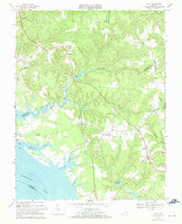
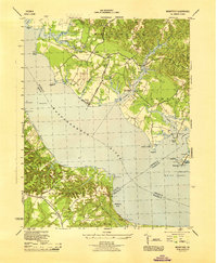
1968 Map of Lively
USGS Topo · Published 1971About this map
Lively serves as a local hub on this Northern Neck peninsula during the late 1960s, surrounded by a landscape defined by tidewater creeks and established crossroads. The intricate shoreline of the Rappahannock River is marked by tidal flats and the expansive estate of Belle Isle. Inland, the economy and community life are grounded in landmarks like Balls Millpond and Blakemore Millpond, alongside numerous rural houses of worship including Hopewell Ch and Beulah Ch.
Find a feature on this map
43 named features on this map. Tap any name to fly to it.
Don’t see what you’re looking for? This feature index may not catch every label — zoom into the map to look around manually.
Map Details
Editions of this 1968 Lively Map
4 editions found
Other maps of this area
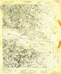
1916 · Kilmarnock
USGS Topo · 1:48,000
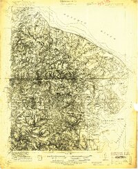
1917 · Heathsville
USGS Topo · 1:48,000
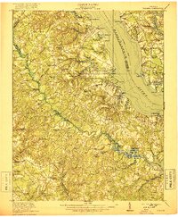
1917 · Urbanna
USGS Topo · 1:62,500
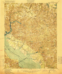
1917 · Morattico
USGS Topo · 1:62,500
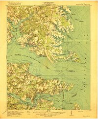
1917 · Kilmarnock
USGS Topo · 1:62,500
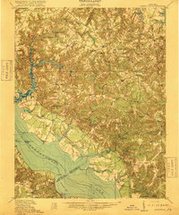
1918 · Morattico
USGS Topo · 1:62,500
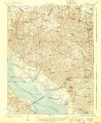
1926 · Morattico
USGS Topo · 1:62,500
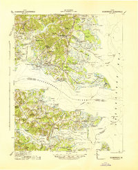
1942 · Kilmarnock
USGS Topo · 1:62,500

1943 · Richmond
USGS Topo · 1:250,000
1944 · Morattico
USGS Topo · 1:31,680