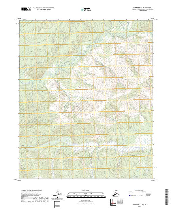
2024 Map of Livengood A-3 SW
USGS Topo · Published 2024About this map
Chatanika River dominates the southern reaches of this interior landscape, winding eastward through a broad valley floor characterized by extensive wetlands. This area, located within the Fairbanks North Star Borough, showcases a drainage system where Shovel Creek joins the larger river from the north. The central and northern portions of the map are defined by rising ridges and the sinuous path of Washington Creek, which cuts through the upland terrain. With no roads or permanent settlements recorded on this 2024 survey, the map preserves the natural state of the Alaskan interior as it appeared in the early 21st century, detailing the complex hydrology and elevation profiles of the wilderness north of Fairbanks.
Find a feature on this map
10 named features on this map. Tap any name to fly to it.
Don’t see what you’re looking for? This feature index may not catch every label — zoom into the map to look around manually.
Map Details
Editions of this 2024 Livengood A-3 SW Map
This is the sole edition of this map. No revisions or reprints were ever made.
Other maps of this area

1945 · Livengood
USGS Topo · 1:250,000

1949 · Fairbanks D-3
USGS Topo · 1:63,360

1949 · Fairbanks D-4
USGS Topo · 1:63,360

1950 · Fairbanks
USGS Topo · 1:250,000

1950 · Fairbanks D-3
USGS Topo · 1:63,360

1951 · Fairbanks
USGS Topo · 1:250,000

1951 · Livengood
USGS Topo · 1:250,000

1951 · Livengood A-4
USGS Topo · 1:63,360

1952 · Fairbanks D-3
USGS Topo · 1:63,360

1952 · Fairbanks D-4
USGS Topo · 1:63,360