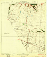
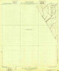
1963 Map of Liverpool
USGS Topo · Published 1977About this map
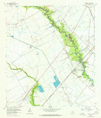
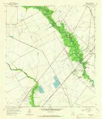
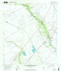
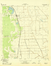
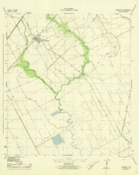
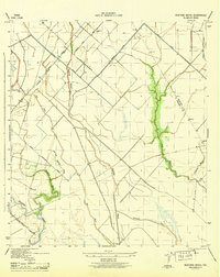
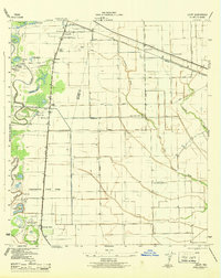
Chocolate Bayou meanders through this portion of Brazoria County, anchoring a landscape where coastal prairie meets industrial and agricultural development. The settlement of Liverpool sits at a strategic bend in the bayou, served by the Missouri Pacific railroad line. The map reveals an intensive water management system essential for local rice farming, featuring the Briscoe Canal, Rice Canal, and the extensive South Texas Water Company Canal.
Find a feature on this map
21 named features on this map. Tap any name to fly to it.
Don’t see what you’re looking for? This feature index may not catch every label — zoom into the map to look around manually.
Map Details
Editions of this 1963 Liverpool Map
3 editions found
Other maps of this area

1929 · Algoa
USGS Topo · 1:24,000
1932 · Algoa
USGS Topo · 1:31,680
1932 · Mustang Bayou
USGS Topo · 1:31,680
1943 · Rosharon
USGS Topo · 1:31,680
1943 · Danbury
USGS Topo · 1:31,680
1943 · Mustang Bayou
USGS Topo · 1:31,680
1943 · Juliff
USGS Topo · 1:31,680
1943 · Angleton
USGS Topo · 1:24,000

1943 · Chocolate Bay
USGS Topo · 1:24,000

1943 · Chocolate Bayou
USGS Topo · 1:24,000