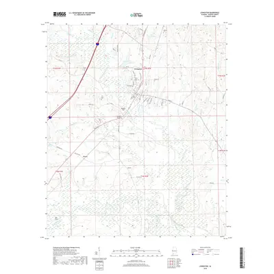
2018 Map of Livingston
USGS Topo · Published 2018About this map
The Univ of West Alabama campus serves as a central hub in this West Alabama landscape, surrounded by the winding course of the Sucarnoochie River. The river's influence on the terrain is evident in features like The Cutoff and the extensive wetlands of Sumter Pond. To the south, the smaller settlement of Hixon is situated near Hannah Br and Yellow Cr.
Find a feature on this map
68 named features on this map. Tap any name to fly to it.
Don’t see what you’re looking for? This feature index may not catch every label — zoom into the map to look around manually.
Map Details
Editions of this 2018 Livingston Map
This is the sole edition of this map. No revisions or reprints were ever made.
Other maps of this area

1929 · Epes
USGS Topo · 1:48,000

1932 · Epes
USGS Topo · 1:62,500

1953 · Meridian
USGS Topo · 1:250,000

1957 · Meridian
USGS Topo · 1:250,000

1965 · Meridian
USGS Topo · 1:250,000

1971 · Coatopa
USGS Topo · 1:24,000

1971 · Bellamy
USGS Topo · 1:24,000

1974 · Boyd
USGS Topo · 1:24,000
1974 · Epes West
USGS Topo · 1:24,000
1974 · Epes East
USGS Topo · 1:24,000