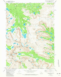
1981 Map of Lizard Head Peak
USGS Topo · Published 1981About this map
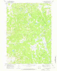
The Continental Divide winds through this high-altitude landscape, marking the border between the Bridger Wilderness and Shoshone National Forest. This 1981 edition documents the alpine reaches of the Wind River Range, showing the Wind River Indian Reservation Boundary as it meets the headwaters of the Wind River. Notable for its concentration of granite peaks and glacial features, the area includes the Washakie Glacier and the distinctively named Lizard Head Peak. The network of alpine lakes, from Grave Lake in the north to Lonesome Lake near the dramatic formations of The Towers, illustrates a drainage system feeding both the South Fork Wind River and the Agie River. Topographic detail is intense around named summits like Mount Chauvenet and Cathedral Peak, providing a clear view of the high-country terrain before modern satellite mapping became the standard.
Find a feature on this map
71 named features on this map. Tap any name to fly to it.
Don’t see what you’re looking for? This feature index may not catch every label — zoom into the map to look around manually.
Map Details
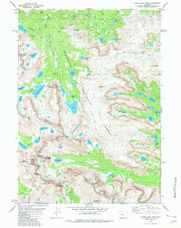
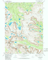
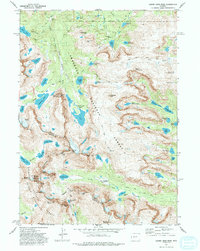
Editions of this 1981 Lizard Head Peak Map
4 editions found
Other maps of this area

1937 · Moccasin Lake
USGS Topo · 1:48,000

1938 · Mt Bonneville
USGS Topo · 1:62,500

1941 · Mt Bonneville
USGS Topo · 1:62,500

1942 · Mt Bonneville
USGS Topo · 1:62,500

1943 · Moccasin Lake
USGS Topo · 1:62,500

1953 · Sweetwater Gap
USGS Topo · 1:24,000

1955 · Lander
USGS Topo · 1:250,000

1958 · Lander
USGS Topo · 1:250,000

1961 · Lander
USGS Topo · 1:250,000
1969 · Big Sandy Opening
USGS Topo · 1:24,000