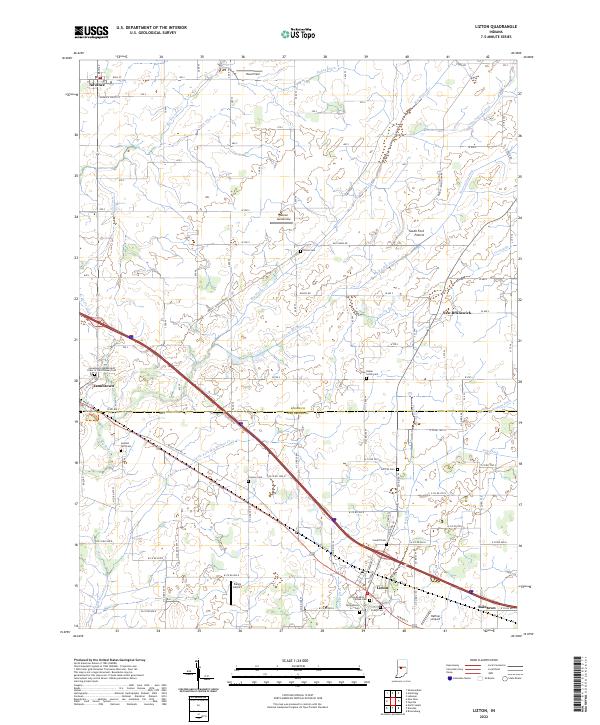
2022 Map of Lizton
USGS Topo · Published 2022About this map
Lizton and Jamestown anchor this central Indiana landscape, where the agricultural traditions of the South Fork Prairie meet a sophisticated network of drainage ditches and creeks. The terrain is defined by the headwaters of several systems, including the S Fork Eel River and the Middle Fork Big Walnut Cr, which are managed through named works like Cunningham Ditch and Main Edlin Ditch. For local historians, the area is rich with fraternal and community markers, such as the Lizton Knights of Pythias Cem and the Jamestown-Independent Order of Odd Fellows Cem. A notable cluster of small-scale aviation history is evident through facilities like Bergs Airport, Reimer Aerodrome, and Haffner Airport, reflecting the region's mid-century and modern aerial transport patterns.
Find a feature on this map
48 named features on this map. Tap any name to fly to it.
Don’t see what you’re looking for? This feature index may not catch every label — zoom into the map to look around manually.
Map Details
Editions of this 2022 Lizton Map
This is the sole edition of this map. No revisions or reprints were ever made.
Other maps of this area

1953 · Fayette
USGS Topo · 1:24,000

1953 · Lizton
USGS Topo · 1:24,000

1953 · Danville
USGS Topo · 1:24,000

1953 · Brownsburg
USGS Topo · 1:24,000

1953 · Lebanon
USGS Topo · 1:24,000

1953 · Danville
USGS Topo · 1:250,000

1953 · Indianapolis
USGS Topo · 1:250,000

1955 · Danville
USGS Topo · 1:250,000

1956 · Danville
USGS Topo · 1:250,000

1956 · Indianapolis
USGS Topo · 1:250,000