Loading...
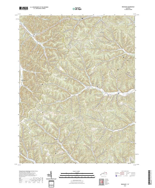
Loading map...2022 Map of Load
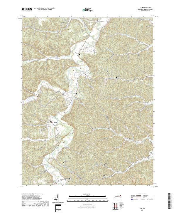
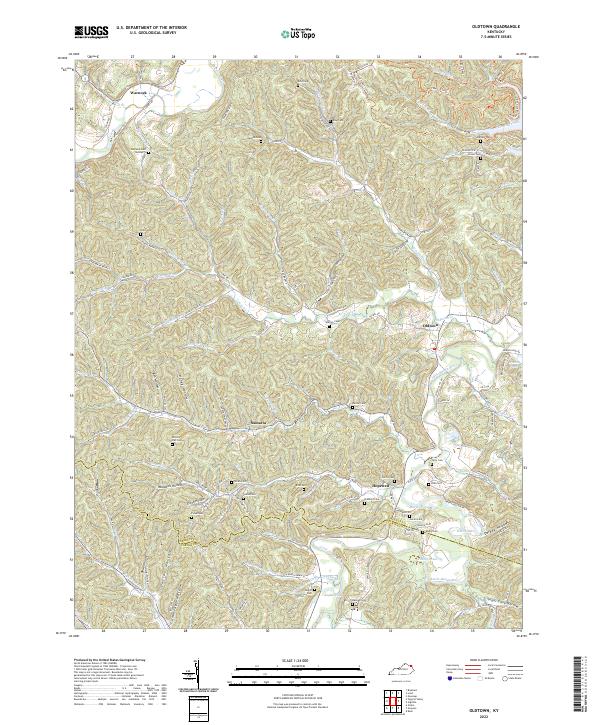
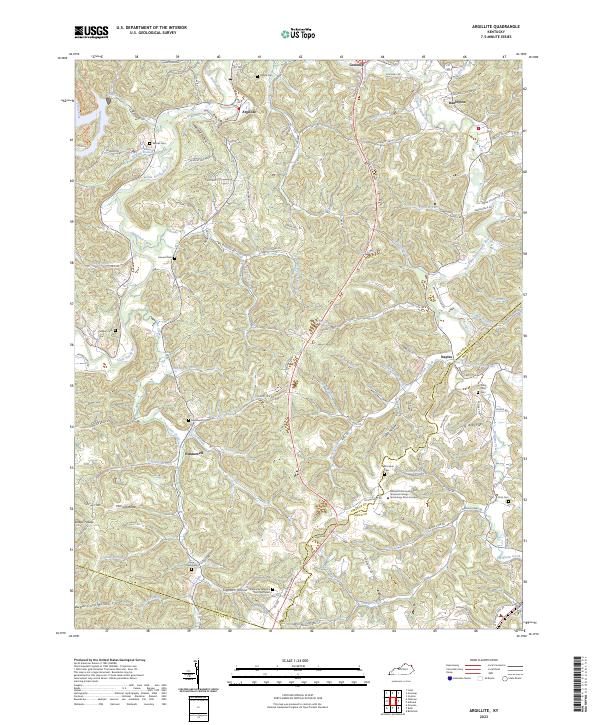
USGS Topo · Published 2022This historical map portrays the area of Load in 2022, primarily covering Greenup County. Featuring a scale of 1:24000, this map provides a highly detailed snapshot of the terrain, roads, buildings, counties, and historical landmarks in the Load region at the time. Published in 2022, it is the sole known edition of this map.
Map Details
Date Portrayed2022
Date Published2022
PublisherU.S. Geological Survey
Map TypeTopographic
Scale1:24000
Physical Dimensions24 x 29 inches
Editions of this 2022 Load Map
This is the sole edition of this map. No revisions or reprints were ever made.
Historical Maps of Lynn Through Time
10 maps found
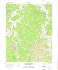
1949 Brushart
Greenup County, KY
1950 Brushart
Greenup County, KY
1953 Argillite
Greenup County, KY
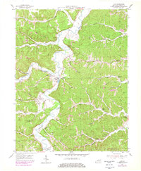
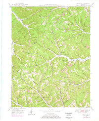
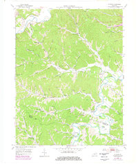
1953 Load
Greenup County, KY
1953 Oldtown
Greenup County, KY
1972 Argillite
Greenup County, KY
2022 Brushart
Greenup County, KY
2022 Load
Greenup County, KY
2022 Oldtown
Greenup County, KY
2023 Argillite
Greenup County, KY
Featured Locations
Source Details
SourceU.S. Geological Survey
CopyrightPublic Domain