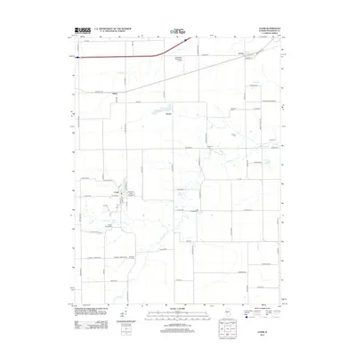
2012 Map of Loami
USGS Topo · Published 2012About this map
The agricultural landscape of southwest Sangamon County is defined by its deep-rooted rural settlements and family burial grounds in the early 21st century. Loami serves as a primary hub in the south, while the small communities of Curran, Bates, and Knapp anchor the northern reaches near Sudduth Lake. The map reveals a transition from traditional farming towards modern aviation and industrial activity, notably at Springfield Southwest Airpark and the Industrial Dr corridor.
Find a feature on this map
76 named features on this map. Tap any name to fly to it.
Don’t see what you’re looking for? This feature index may not catch every label — zoom into the map to look around manually.
Map Details
Editions of this 2012 Loami Map
This is the sole edition of this map. No revisions or reprints were ever made.
Other maps of this area

1907 · Springfield
USGS Topo · 1:62,500

1909 · Tallula
USGS Topo · 1:62,500

1922 · Divernon
USGS Topo · 1:62,500

1924 · Divernon
USGS Topo · 1:62,500

1924 · Waverly
USGS Topo · 1:62,500

1926 · Waverly
USGS Topo · 1:62,500

1930 · Springfield
USGS Topo · 1:62,500

1940 · Tallula
USGS Topo · 1:62,500

1940 · Springfield
USGS Topo · 1:62,500

1950 · Springfield West
USGS Topo · 1:24,000