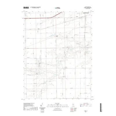
2021 Map of Loami
USGS Topo · Published 2021About this map
The village of Loami sits at the heart of this Sangamon County landscape, where the prairie gives way to the wooded drainage of Lick Creek. This modern survey illustrates a long-established agricultural pattern, with family names preserved in sites like Patterson Cem, Shelton Cem, and McGinnis Cem. The terrain is defined by the winding course of Lick Cr and its tributaries, including S Fork Lick Cr and Archer Cr, which carve through the till plain. Smaller settlements like Curran, Bates, and Knapp punctuate the grid of country roads, while the outskirts of Springfield appear in the northeast corner. This map provides a clear record of local land use, showing the relationship between historic cemeteries and the original homesteads that once dotted the banks of Lake Loami.
Find a feature on this map
74 named features on this map. Tap any name to fly to it.
Don’t see what you’re looking for? This feature index may not catch every label — zoom into the map to look around manually.
Map Details
Editions of this 2021 Loami Map
This is the sole edition of this map. No revisions or reprints were ever made.
Other maps of this area

1907 · Springfield
USGS Topo · 1:62,500

1909 · Tallula
USGS Topo · 1:62,500

1922 · Divernon
USGS Topo · 1:62,500

1924 · Divernon
USGS Topo · 1:62,500

1924 · Waverly
USGS Topo · 1:62,500

1926 · Waverly
USGS Topo · 1:62,500

1930 · Springfield
USGS Topo · 1:62,500

1940 · Tallula
USGS Topo · 1:62,500

1940 · Springfield
USGS Topo · 1:62,500

1950 · Springfield West
USGS Topo · 1:24,000