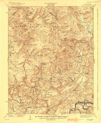
1939 Map of Lobelia
USGS Topo · Published 1939About this map
Lobelia and the high plateaus of the Monongahela National Forest define this landscape as it appeared in the late 1930s. The region is characterized by a dense network of mountain schools and country churches that served isolated timbering and farming families. Notable educational sites such as West Droop School, Brushy Flat School, and Vires School are scattered across the ridges, while the local faith community is represented by landmarks like Beulah Church and McMillion Church.
Find a feature on this map
144 named features on this map. Tap any name to fly to it.
Don’t see what you’re looking for? This feature index may not catch every label — zoom into the map to look around manually.
Map Details
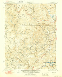
Editions of this 1939 Lobelia Map
2 editions found
Other maps of this area

1887 · Hinton
USGS Topo · 1:125,000

1887 · Lewisburg
USGS Topo · 1:125,000

1889 · Nicholas
USGS Topo · 1:125,000

1891 · Lewisburg
USGS Topo · 1:125,000

1891 · Nicholas
USGS Topo · 1:125,000

1891 · Huntersville
USGS Topo · 1:125,000

1892 · Hinton
USGS Topo · 1:125,000

1894 · Huntersville
USGS Topo · 1:125,000

1901 · Nicholas
USGS Topo · 1:125,000

1915 · Webster Springs
USGS Topo · 1:48,000