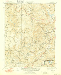
1939 Map of Lobelia
USGS Topo · Published 1950About this map
The Monongahela Nat For dominates this 1930s landscape, where small agricultural pockets like Lobelia and Renicks Valley persist along the high ridges and valley floors. High-altitude wetlands such as the Cranberry Glades provide a stark contrast to the surrounding timbered peaks of Kennison Mtn and Black Mtn. The region's isolation is countered by the historic Seneca Trail and the Chesapeake and Ohio railroad corridor tracking along the Greenbrier River in the southeast.
Find a feature on this map
152 named features on this map. Tap any name to fly to it.
Don’t see what you’re looking for? This feature index may not catch every label — zoom into the map to look around manually.
Map Details
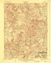
Editions of this 1939 Lobelia Map
2 editions found
Other maps of this area

1887 · Hinton
USGS Topo · 1:125,000

1887 · Lewisburg
USGS Topo · 1:125,000

1889 · Nicholas
USGS Topo · 1:125,000

1891 · Lewisburg
USGS Topo · 1:125,000

1891 · Nicholas
USGS Topo · 1:125,000

1891 · Huntersville
USGS Topo · 1:125,000

1892 · Hinton
USGS Topo · 1:125,000

1894 · Huntersville
USGS Topo · 1:125,000

1901 · Nicholas
USGS Topo · 1:125,000

1915 · Webster Springs
USGS Topo · 1:48,000