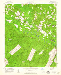
1957 Map of Lobelia
USGS Topo · Published 1960About this map
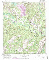
Little River winds through this central North Carolina landscape, defining the boundary between the quiet rural settlements to the north and the expanding training grounds of the Fort Bragg Military Reservation to the south. The 1957 field check reveals a community anchored by local institutions like Frys Chapel, Oak Ridge Ch, and Mt Pleasant Ch. A Sand and Gravel Pit near the river and the presence of a Lookout Tower near Inverness reflect the local economy and forest management of the era.
Find a feature on this map
29 named features on this map. Tap any name to fly to it.
Don’t see what you’re looking for? This feature index may not catch every label — zoom into the map to look around manually.
Map Details
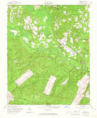
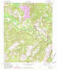
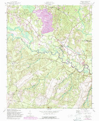
Editions of this 1957 Lobelia Map
5 editions found
Other maps of this area

1948 · Southern Pines
USGS Topo · 1:62,500

1948 · Clifdale
USGS Topo · 1:62,500

1948 · Nicholson Creek
USGS Topo · 1:24,000

1948 · Clifdale
USGS Topo · 1:24,000

1948 · Mc Cain
USGS Topo · 1:24,000

1950 · Clifdale
USGS Topo · 1:24,000

1950 · Sanatorium
USGS Topo · 1:24,000

1950 · Lobelia
USGS Topo · 1:24,000

1950 · Niagara
USGS Topo · 1:24,000

1950 · Nicholson Creek
USGS Topo · 1:24,000