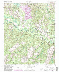
1957 Map of Lobelia
USGS Topo · Published 1998About this map
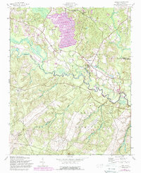
The Fort Bragg Military Reservation dominates the southern half of this landscape, its boundary cutting through the heart of Hoke and Moore counties. The expansive waters of Lake Surf appear to the north, fed by Cypress Creek and Crane Creek. This area is characterized by a transition from military training grounds to quiet settlements like Lobelia and Inverness. A small Airfield and Ranger Station No 3 are positioned near the center, reflecting the strategic and managed nature of the terrain.
Find a feature on this map
25 named features on this map. Tap any name to fly to it.
Don’t see what you’re looking for? This feature index may not catch every label — zoom into the map to look around manually.
Map Details
Editions of this 1957 Lobelia Map
5 editions found
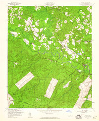
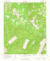
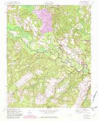
Other maps of this area

1948 · Southern Pines
USGS Topo · 1:62,500

1948 · Clifdale
USGS Topo · 1:62,500

1948 · Nicholson Creek
USGS Topo · 1:24,000

1948 · Clifdale
USGS Topo · 1:24,000

1948 · Mc Cain
USGS Topo · 1:24,000

1950 · Clifdale
USGS Topo · 1:24,000

1950 · Sanatorium
USGS Topo · 1:24,000

1950 · Lobelia
USGS Topo · 1:24,000

1950 · Niagara
USGS Topo · 1:24,000

1950 · Nicholson Creek
USGS Topo · 1:24,000