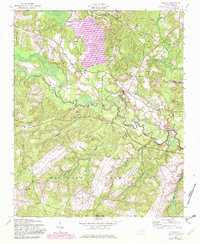
1957 Map of Lobelia
USGS Topo · Published 1982About this map
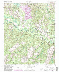
The Fort Bragg Military Reservation dominates the southern landscape of this region, bordering the rural communities of Lobelia and Inverness. This mid-century survey captures a topography defined by the meandering Little River, which is fed by James Creek and Crane Creek. The presence of the Lake Surf impoundment at the northern edge, marked with an elevation of 223 feet, suggests the evolving water management and land use during the 1950s and its later 1980s updates.
Find a feature on this map
24 named features on this map. Tap any name to fly to it.
Don’t see what you’re looking for? This feature index may not catch every label — zoom into the map to look around manually.
Map Details
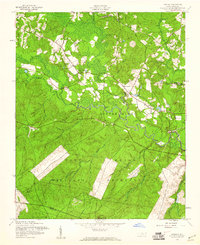
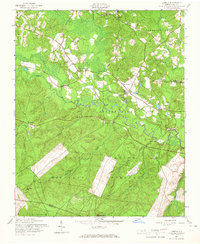
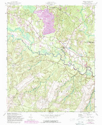
Editions of this 1957 Lobelia Map
5 editions found
Other maps of this area

1948 · Southern Pines
USGS Topo · 1:62,500

1948 · Clifdale
USGS Topo · 1:62,500

1948 · Nicholson Creek
USGS Topo · 1:24,000

1948 · Clifdale
USGS Topo · 1:24,000

1948 · Mc Cain
USGS Topo · 1:24,000

1950 · Clifdale
USGS Topo · 1:24,000

1950 · Sanatorium
USGS Topo · 1:24,000

1950 · Lobelia
USGS Topo · 1:24,000

1950 · Niagara
USGS Topo · 1:24,000

1950 · Nicholson Creek
USGS Topo · 1:24,000